
THE INSAR INTELLIGENCE PLATFORM FOR MINING COMPANIES
Go from local inspection and reaction to global early discovery
OUR MINING CLIENTS











Detect slope instabilities early, everywhere in the mine
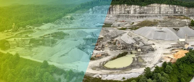
Slope stability monitoring in open pit mining with InSAR means we do rapid processing of SAR images as soon as they become available and rapid assessment for changes to identify areas of abnormal surface movement.
We have several different interferometric and non-interferometric products to assess time-dependent shape changes in our InSAR intelligence environment.
Work together with our domain-specific InSAR experts to identify patterns of instability that do not just jump out of the data.
Mines are very complex operations and there is risk everywhere. Now there is an immense amount of surface deformation data and everything is moving.
Separation of noise that is geotechnically irrelevant becomes the essential step to successful geotechnical risk monitoring.
Early warning means filtering out irrelevant ground motion as noise
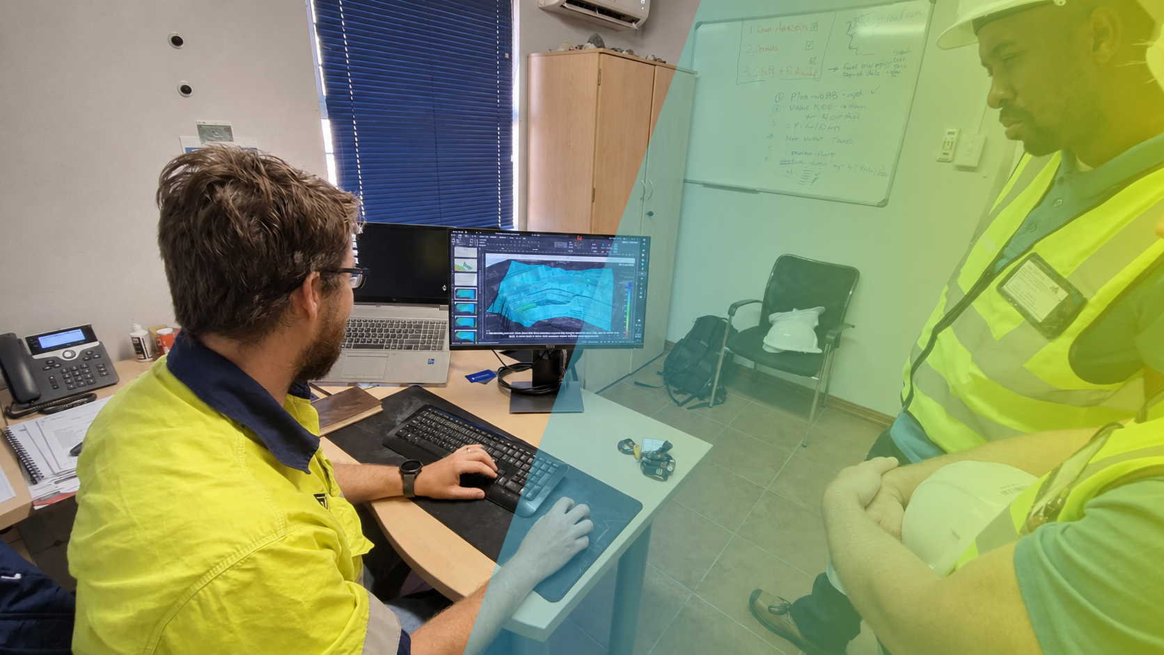
Our team of InSAR field application engineers are on a mission to make InSAR the standard remote monitoring solution for the mining industry. Providing early warnings when potential problems are detected.
Hundreds of customers worldwide have been working with SkyGeo products and consultants for over a decade. Every mine is different, and we've proven that there's no one-size-fits-all InSAR solution.
The best practitioners have discovered ways to sort through all the InSAR noise, to predict what millimeter-scale motion will become meter-scale motion
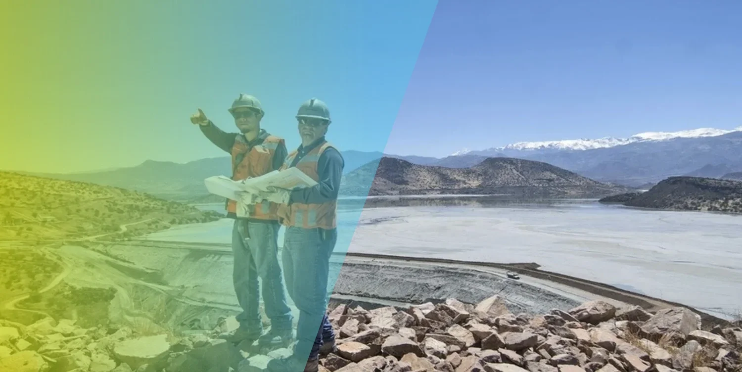
Continuous monitoring of tailings ponds and dams
The mining sector has highly developed workflows for safety and risk management of tailings ponds and dams.
We help tailings engineers all over the world add satellite-derived data into these workflows to assess instabilities and target areas for closer inspection.
We are beginning to understand the predictive power of these millions of remote measurements, but they require a specialist to translate them into a correct and easily understandable safety statement.
Water is known to play a key role in this process, and we help you better visualize its role. as well - from space.
Our engineers and geoscientists work with you and your tailings team to ensure that inspection scheduling is optimized and costs can be reduced while risk management is maximized.
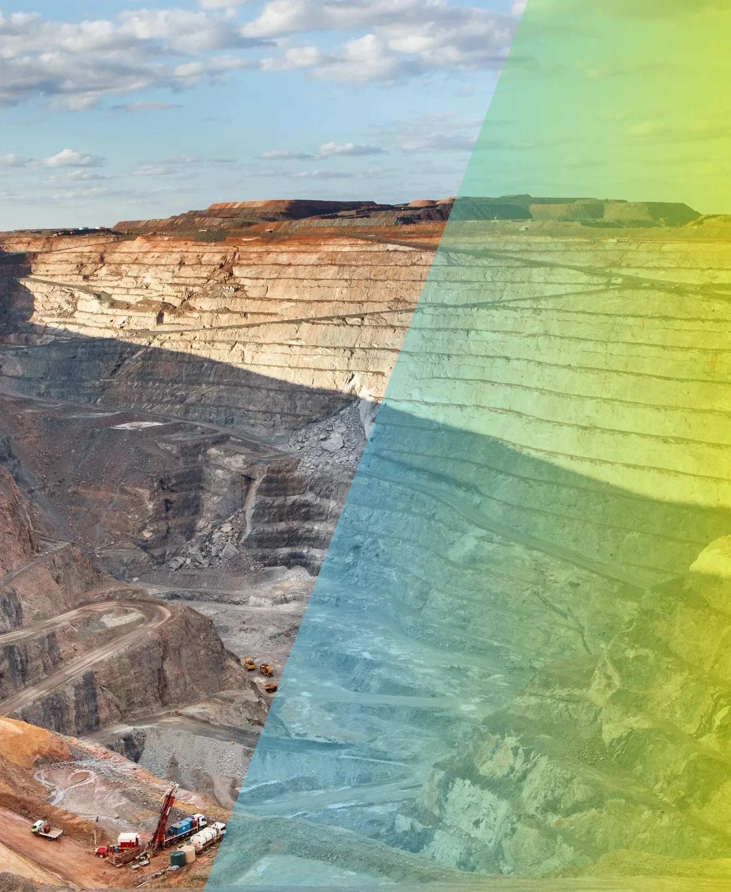
Surveyors and hydrologists complement ground-based monitoring instrumentation with InSAR
InSAR is complementary to the many monitoring tools that geotechnical engineers already use to assess stability and geotechnical risk.
We integrate our InSAR data into data flow from ground based SAR (GB-SAR), total stations, inclinometers, extensometers, Lidar, GNSS, etc.
InSAR
Avoid surprises - access areas where there is no ground-based measurement
Optimize the deployment of equipment.
Discover new insights into time-dependent risks.
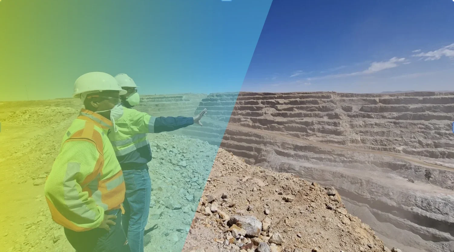
A traffic light system for slope stability across site
In stability evaluation of pits, dumps, piles and landfills, as well as high-rise or mine slopes, we consider geology, groundwater levels, soil conditions, and other geotechnical influences.
These factors combine to influence both the InSAR measurements and the risk. Evolving insights. We are building a library of relevant deformation patterns.
For many customers, we translate the deformation patterns over different parts of the mine into a 3-, or 4-stage "traffic light" warning system.
For most of these, we display very high resolution maps from two different lines of sight, showing different parts of the mine. These contour maps differ from our time-series products.
Contact our specialists to learn more about the relative merits of both products and how they can help uncover various stability issues.
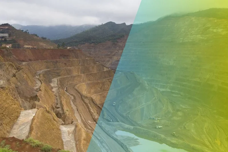
Transparent and reliable InSAR products
At SkyGeo we know how and where the complex InSAR data works well – and where it doesn’t when assessing all the different aspects of the mine stability.
We have built our own code base to do interferometry; we do not rely on black-box third party software.
We task and work with all available satellites and configure a service to optimize continuous risk monitoring.
Moreover, we have built a progressive rigorous process to do Quality Assurance auditing of our InSAR for Mining applications that has met the rigorous quality standards imposed by the largest and most demanding organizations in the world.
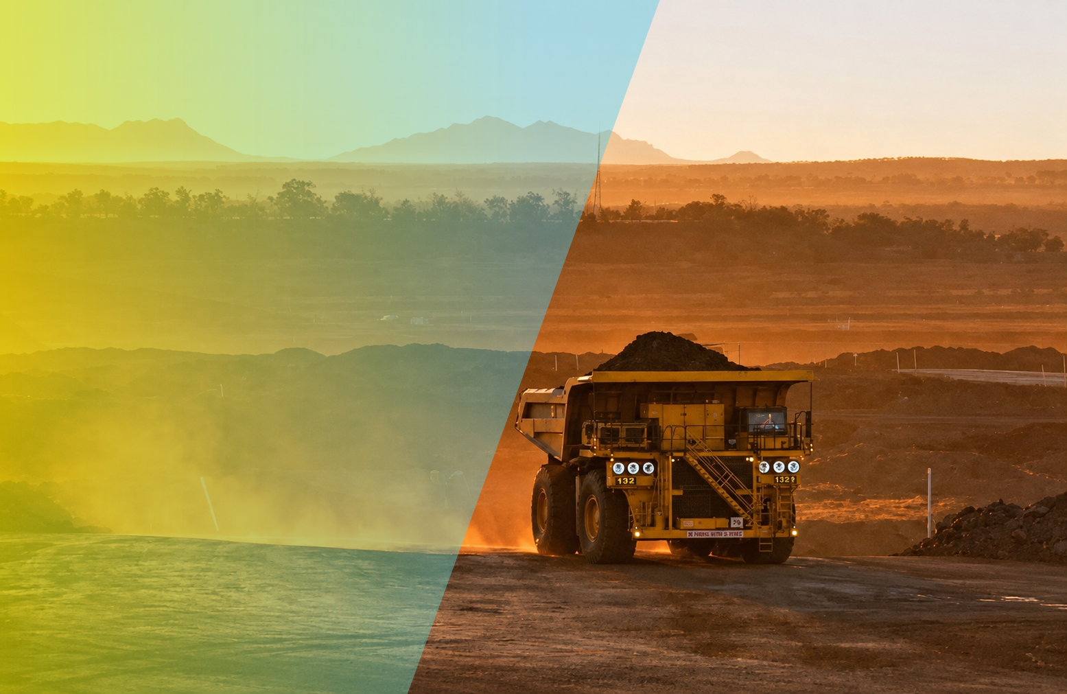
InSAR for mine closure and backfill
InSAR stability monitoring can provide early warning of ground motion across the entire abandoned mine environment, including tailings storage facilities.
This warning system triggers managers when they need to take action for visual inspection or deploy other resources, such as ground-based radar or drone-based systems, for an emergency site survey.
A key advantage of remote data is cost savings: no local investigation is needed unless the remote data gives an indication of that need. We aim to minimize both false positives and false negatives.
BACKFILL
Backfill projects have to meet regulatory requirements that they bring back the site to its original state before it can be relinquished.
With InSAR data that goes back many years, we can do long term extrapolation. We support long term forecasting of stability after backfill to show if we will reach the same settlement rates as the background subsidence signal from the normal natural environment.
Mining Case Studies
-
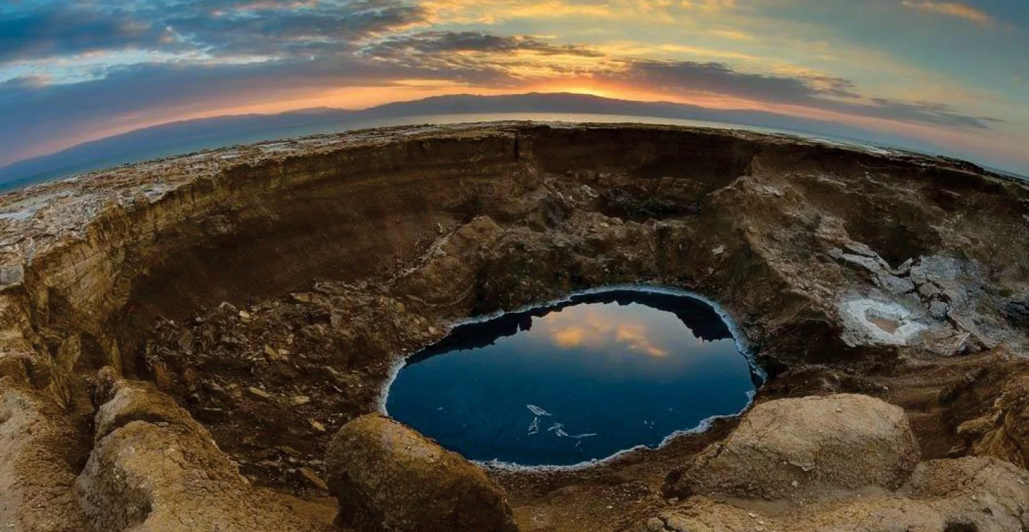
Potash Mining Company
Leveraging SkyGeo’s holistic approach to managing geotechnical risk, the client now identifies sinkholes as early as possible and minimizes the probability of a catastrophic collapse causing dike failure.
-
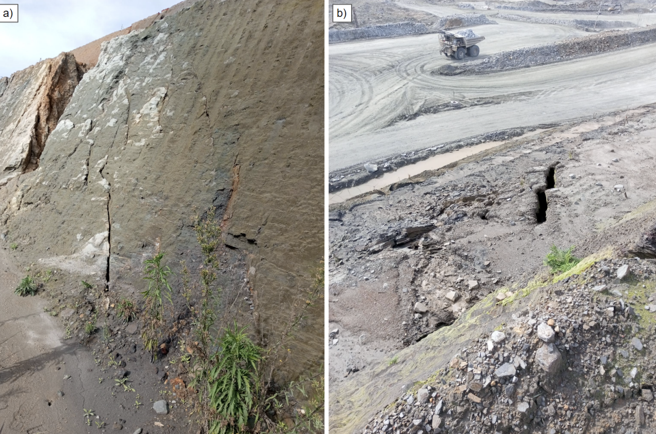
Kansanshi Copper Mine
Stabilisation of open pit wall movements detected by InSAR using horizontal drains
Frequently Asked Questions
-
InSAR is used to monitor deformation across open pits, waste dumps, tailings facilities, and surrounding infrastructure. It provides wide-area time-series visibility that complements on-site monitoring, helping teams understand where movement is changing and where attention is needed.
-
Yes—when interpreted correctly. Time-series trends can reveal subtle changes that may indicate evolving conditions. Expert interpretation is important to separate signal from noise and to understand what patterns are meaningful for geotechnical risk.
-
No. InSAR complements ground-based monitoring and inspections. It can help prioritise where to look and provide broader context over time, but decisions should integrate multiple data sources and engineering judgement.
-
InSAR provides wide-area, time‑series visibility of surface deformation across an entire mine site—including pits, dumps, and tailings facilities. When interpreted correctly, it helps identify where movement is changing over time so teams can prioritise inspection, monitoring resources, and mitigation planning.
-
InSAR can help characterise and quantify deformation trends across TSFs and surrounding ground, supporting early awareness and prioritisation. Because TSFs are high‑consequence assets, results should be interpreted by specialists and integrated with site monitoring and geotechnical context to support safe decisions.
-
Early warning means identifying abnormal movement patterns or changes in trend early enough to trigger closer review or additional on‑site investigation. Practical early warning depends on a site‑specific framework: baselines, thresholds, and expert interpretation—not a single universal number or map.
-
Data-only outputs can be easy to misread, especially in complex mine environments. SkyGeo combines InSAR data with geotechnical domain expertise, quality controls, and interpretation workflows to translate measurements into clear, risk‑aware insight that supports decisions and safe operations.
-
Satellite monitoring supports TSF safety programmes by providing consistent, independent observations of deformation patterns over time. It helps demonstrate due diligence, supports audit trails, and can highlight trends that warrant closer investigation. Importantly, TSF risk management depends on interpretation—understanding what movement is expected, what is abnormal, and how change relates to site conditions and operational actions. Satellite monitoring is most effective when it sits within a governance framework: thresholds, responsibilities, validation steps, and clear escalation pathways.
-
Satellite monitoring can identify deformation trends that may indicate changing conditions, but it should not be treated as a simple ‘failure prediction’ tool. Tailings failures are complex and often depend on multiple interacting factors. The responsible use of satellite data is as an early-warning and screening layer: detect change, assess trend behaviour and uncertainty, then investigate with engineering judgement and complementary monitoring. Overconfidence in raw data outputs can be dangerous; decision-grade insight requires expert validation and context.
-
Typical parameters include displacement over time (time-series), velocity (rate of movement), acceleration (change in rate), and spatial patterns such as differential movement across the structure and its surroundings. Context matters: movement direction relative to the dam geometry, correlation with operational changes, and consistency across measurement points. Monitoring programmes also track uncertainty and data quality so interpretation remains reliable. The aim is not to ‘collect points’, but to detect meaningful change early and support clear escalation decisions.
Let us know how we can help you with your InSAR deployment in your mine
info@skygeo.com