
THE INSAR INTELLIGENCE PLATFORM FOR ENERGY COMPANIES
Tailor and convert commodity InSAR to valuable sub-surface insights
InSAR monitoring gives you up to 100,000 GPS-like measurement points per km², each sampled every couple of days, with millimeter precision. Surface movement over time is related to sub-surface effects of production. Invert this surface footprint to understand your reservoir.
Our Energy Clients


InSAR upstream
Enhanced Oil Recovery: waterfloods and steamfloods
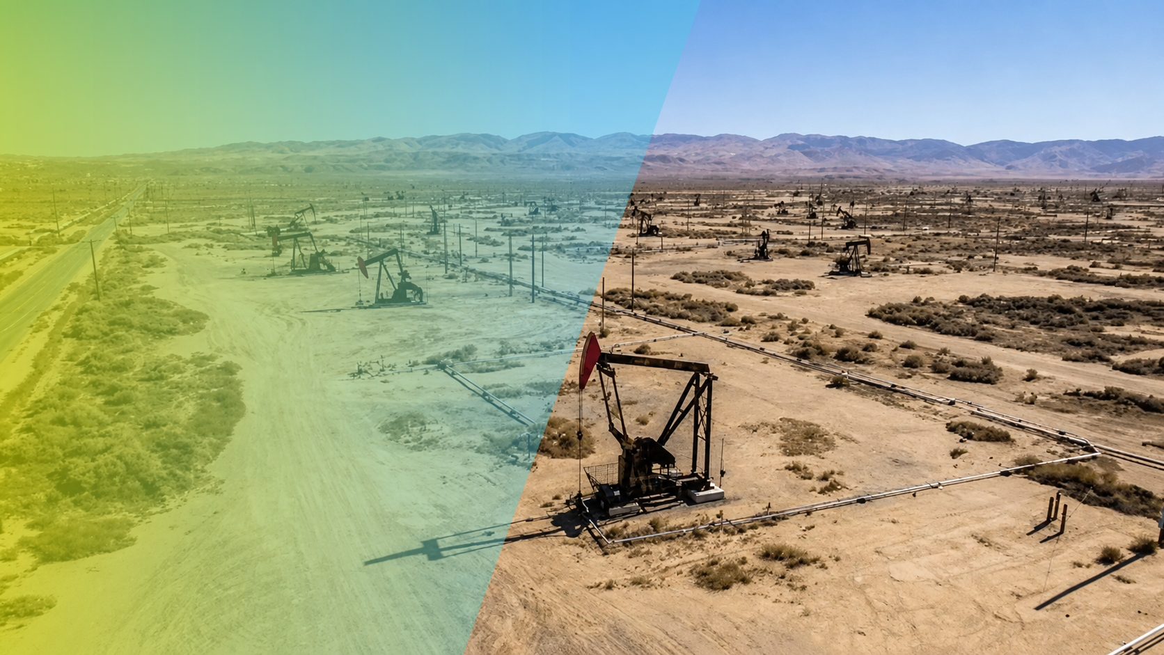
The Belridge diatomite in California has historically seen high displacement rates up to 20 inches / year. Injection in the high-porosity, low-permeability diatomite has notoriously unpredictable and dynamic effects.
Berry has optimized water-flooding strategy in this field using InSAR. Our product provides continuous updates on displacement and uplift with millimeter precision over the entire field.
We specifically process - and then search - for surface dynamic patterns related to reservoir containment that are hard to find.
After we validate our highly granular findings, reservoir engineering converts them into continuous adjustments in injection flow rates.
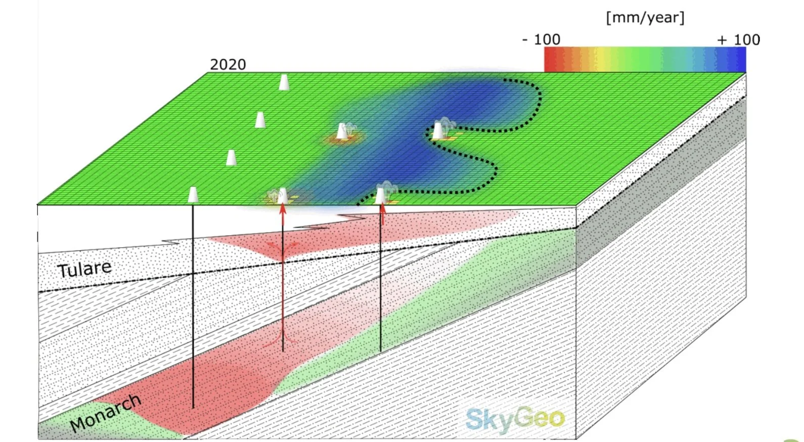
In an adjacent steamflood, the steam was finding paths to surface, notably through abandonded wellbores. With InSAR characterization, we helped determine where the steam chest was getting injected and how the steam migrated in the sandstone, supporting hypotheses in how to best operate the reservoir.
The payback of this approach has been immediate in the form of reduced incidence of well-casing damage and surface events.
Integration with Geomechanical Data and Models
INSAR FOR OFFSHORE PLATFORM MONITORING
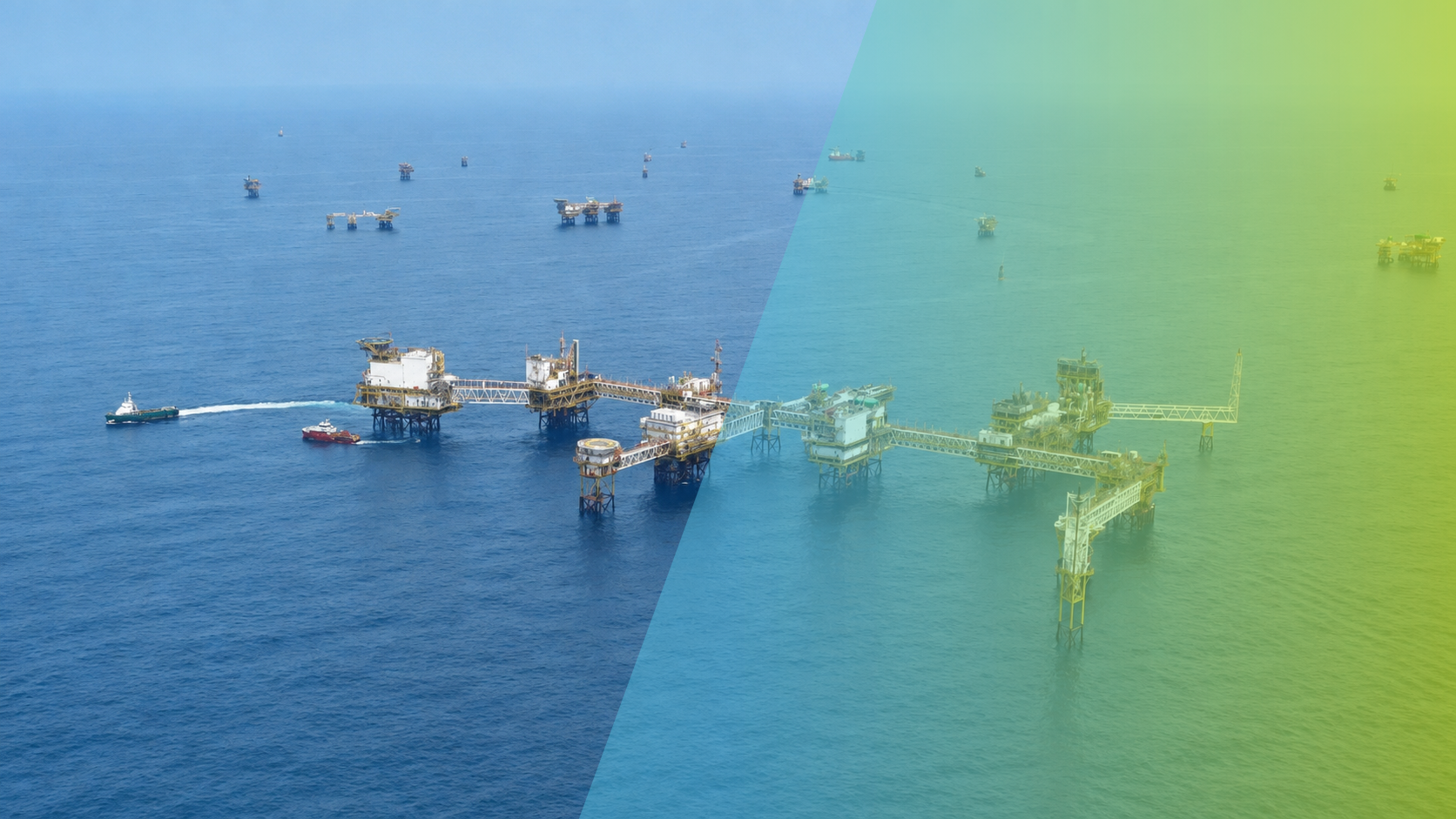
Surface water is highly mobile, so it does not show as a persistent radar scatterer in InSAR. Water bodies present zero point density and historically there are no offshore applications for the technology.
By careful verification against available geodetic measurements like GPS, we have now managed to show that we can monitor the air gap of large numbers of clustered platforms.
Customers have been tracking platform stability with InSAR for over a decade. When done right, it can support geotechnical models as efficiently as onshore.
Production geologists, geophysicists and reservoir engineers all need to validate their subsurface models against a permanent backdrop of incomplete and out-of-date data.
Pressure drops over time in a producing field lead to reservoir compaction, movement of the overburden and displacement of the surface above the reservoir.
Another common effect in depleting fields is fault reactivation, induced by differential compaction between adjacent compartments.
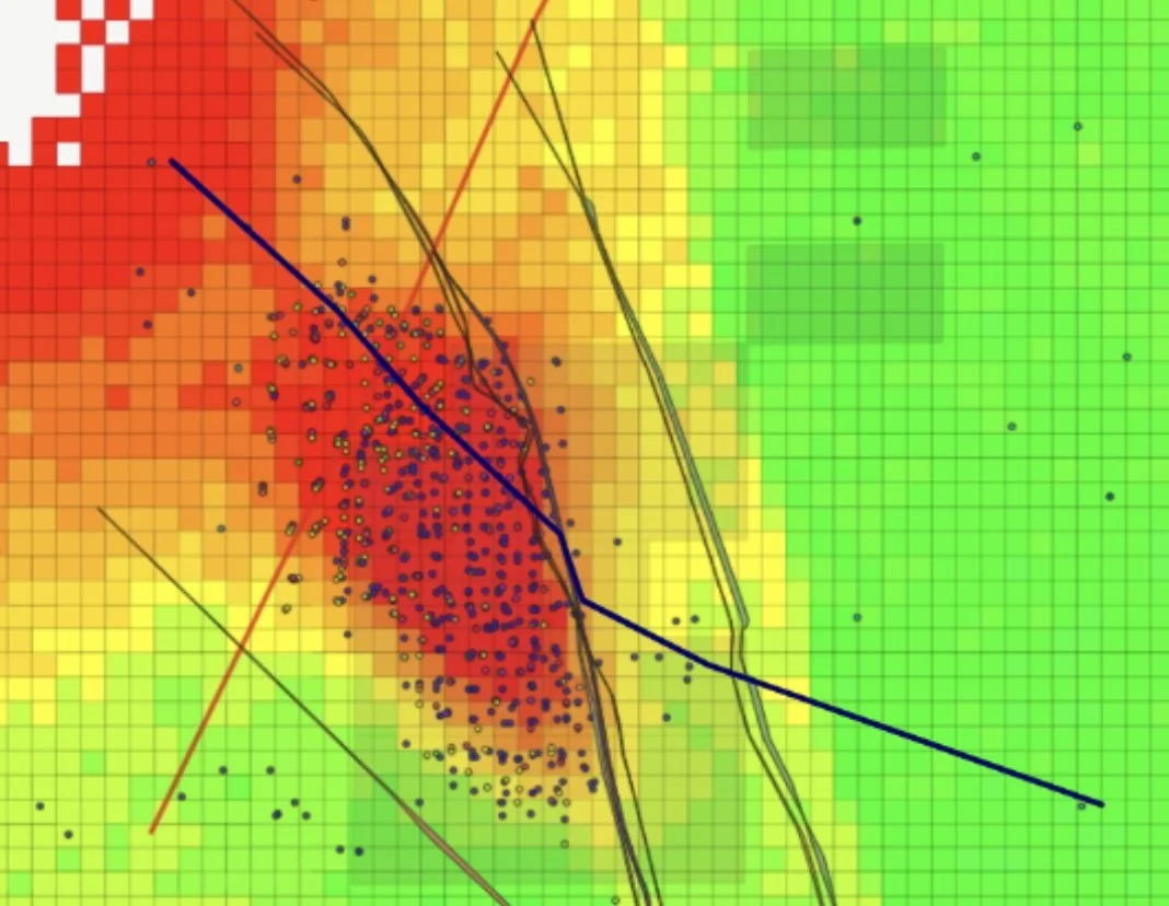
Fluid flow and compaction patterns in a reservoir will change over time. This leaves a dynamic footprint on the surface. Now we can track displacement and uplift with unprecedented accuracy and completeness. But still there will be a lot of noise mixed up in the signal.
The knowledge of these dynamics can support your model’s validation. InSAR Monitoring complements seismic profiles, and widely spaced data from surface tiltmeters to improve geophysical models.
Saltwater disposal tracking
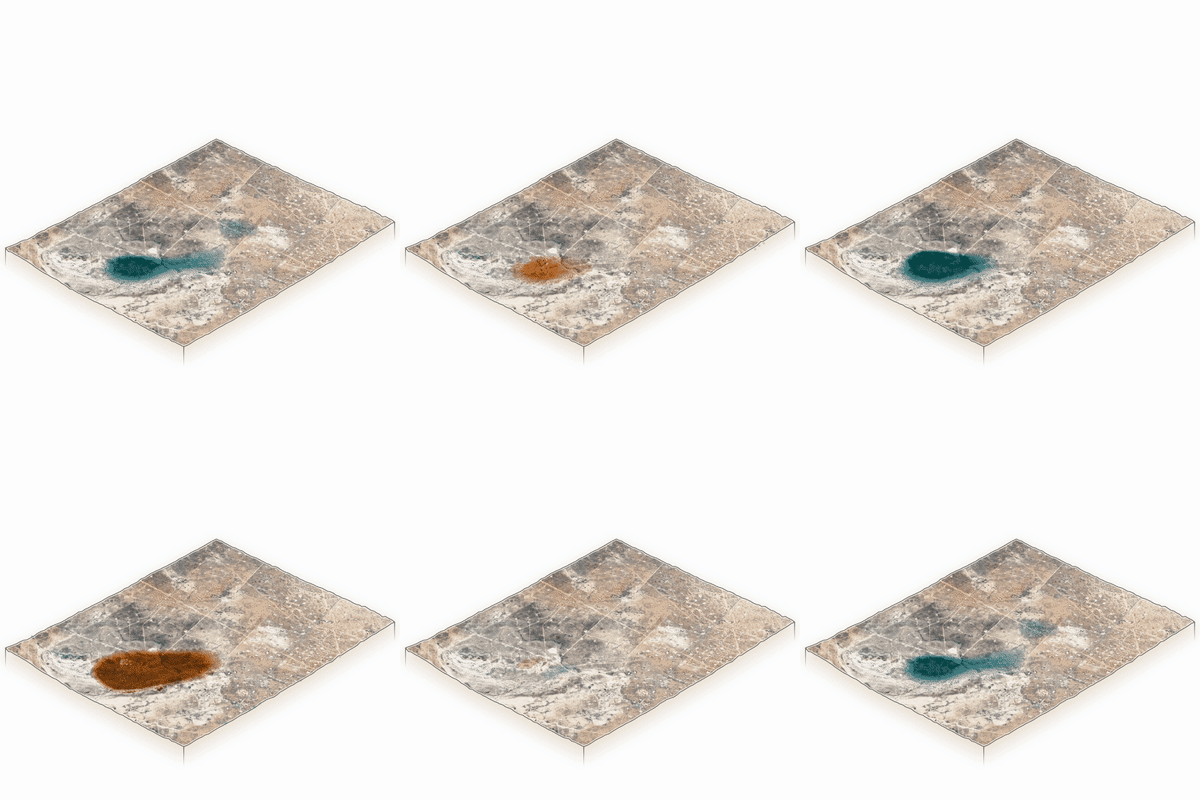
Salt water disposal as a byproduct of production is causing a series of environmental issues that are well understood, such as induced seismicity and surface events, sometime extreme.
Effective SWD management means identifying and mitigating these events before they happen.
Our surface displacement data are used in unconventional basins around the world to characterize SWD pressure developments.
For each project’s specific requirements, we configure the radar satellite mission. We task data acquisition parameters on the satellite (such as resolution, image size, wavelength and frequency of image acquisition) to best monitor our customers assets.
As soon as the image is acquired by the satellite, we process with our algorithm, and update our users’ displacement data automatically.
see what the Wall Street Journal reported on our work in the Permian Basin: America’s Biggest Oil Field Is Turning Into a Pressure Cooker (image courtesy of WSJ) and In America’s Biggest Oil Field, the Ground Is Swelling and Buckling
InSAR midstream and downstream:
pipelines, installations and infrastructure maintenance workflow
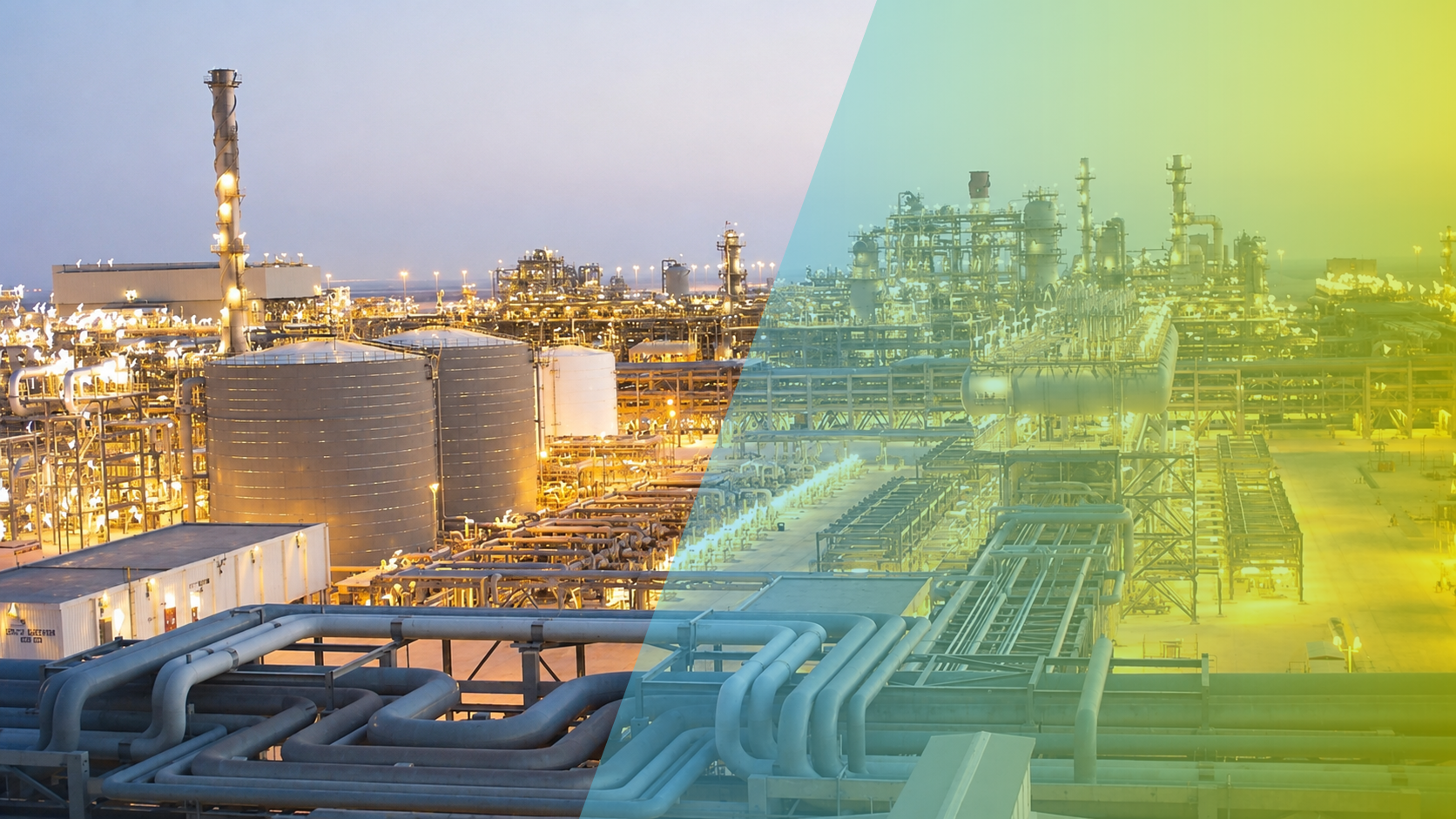
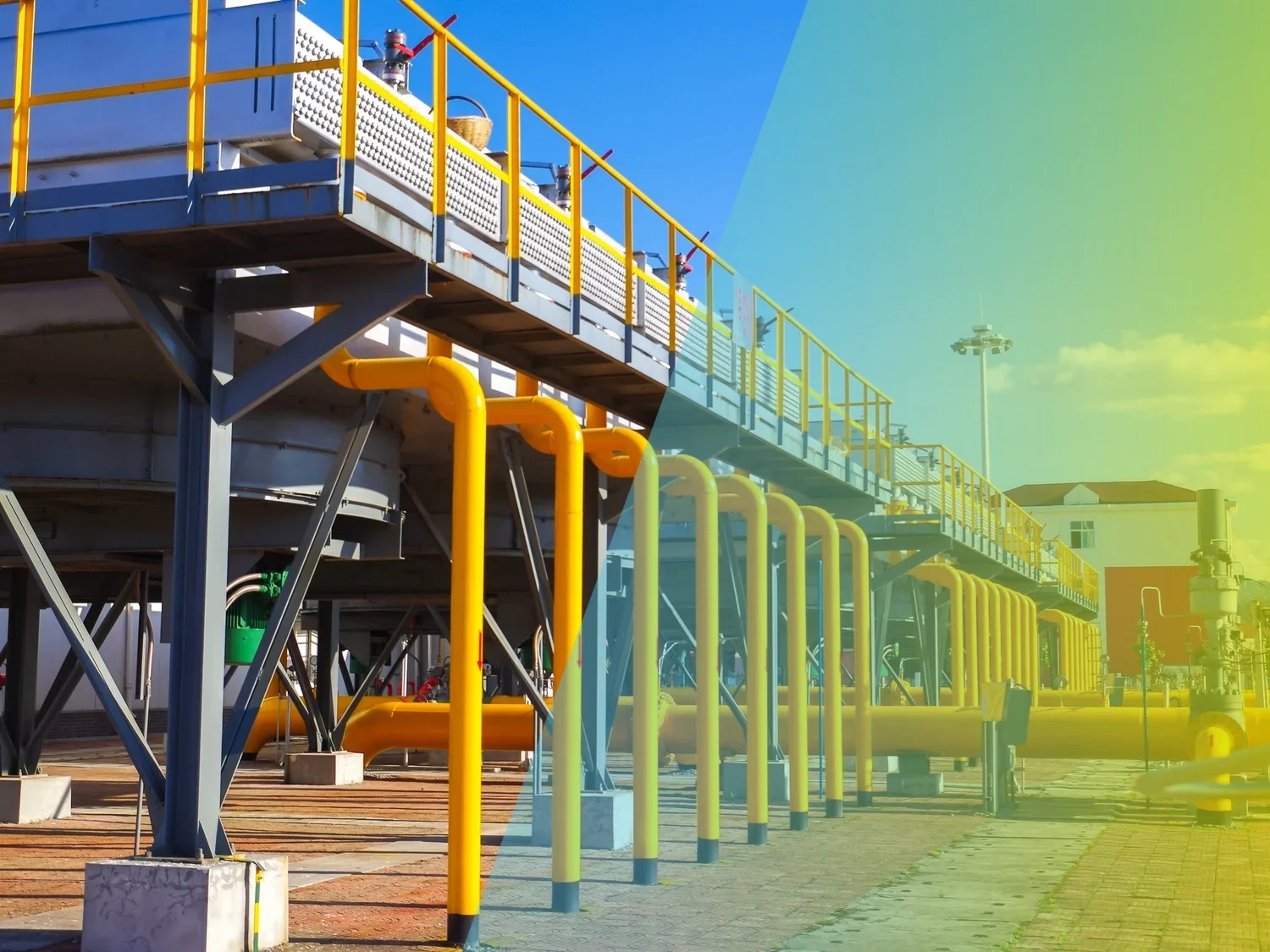
For upstream infrastructure, we typically work with very high resolution SAR imagery, in order to achieve extremely high point densities with our InSAR products.
The high signal : noise displacement measurements of movements affecting the infrastructure enable the engineering team to do diagnostics and intervention with a high degree of effectiveness.
These insights into displacement dynamics will reveal for example high gradients in displacement rates, where high stresses likely affect the asset.
All early indicators are evaluated by a joint team of InSAR experts, geomatics experts and civil and structural engineers.
Our displacement measurements have been validated with ground-based visual inspection in many different installations all over the world.
In the best application cases, the data are at the center of a workflow of further inspection and risk-based asset maintenance.
Site survey and neotectonics
Site surveys usually map the surface geology and active faults.
InSAR plays a valuable role because these tasks can be accomplished without capital spend or ground crews. A remote fact-finding mission will establish if there is autonomous movement along fault zones, and if so, at which rates and in which direction.
This yields immediate insights for new and mature fields. The surface survey will give a complete overview of the surface dynamic events underlying displacement.
We can access historical satellite data as far back as 1992, enabling a long term perspective on geological forces at work. On field scale … and nationwide.
TRUSTED BY THE WORLD’S LARGEST ENERGY ORGANIZATIONS
Complement Conventional Data
Our products can be used to complement other data, such as (micro-)seismic mapping, downhole pressure gauging and tiltmeters. No capital expenditure is needed. In the case of horizontal drilling the mass displacement can follow unpredicted conduction pathways. Subsurface crack propagation and subsequent mass transport can be hard to predict or model.
Any mapping based on satellite images – and displacement mapping in particular – is very information-dense: it typically yields several orders of magnitude more information than conventional terrestrial methods for surveying surface motion.
The availability of all this new data of the earth’s surface motions also enables new, previously unimaginable applications. We make our maps with comparable accuracy, at a lower cost and no capital expenditure. The larger and the more inaccessible the area of interest, the higher the value added by remote sensing.
Frequently Asked Questions
-
Surface deformation can reflect subsurface changes such as compaction, pressure variations, or differential behaviour across compartments. InSAR time series helps track these dynamics over large areas. Interpretation should be combined with subsurface and operational data to understand what the surface signal implies for the reservoir and assets.
-
InSAR adds a spatially dense, time‑series constraint on surface behaviour that can support model validation and refinement. By comparing observed deformation patterns with modelled expectations, teams can reduce uncertainty and focus investigations where model and reality diverge.
-
InSAR can help identify areas where deformation gradients or changing trends may increase stress on infrastructure. Used responsibly, it supports prioritising inspections and integrity reviews. Decisions should integrate asset details, site conditions, and expert interpretation rather than relying on deformation maps alone.
-
ROI is typically realised through avoided disruption and better risk decisions—such as prioritising integrity work, reducing unnecessary field investigations, and catching issues earlier. The value case strengthens when monitoring insight is translated into clear, defensible actions rather than raw data review.
-
Satellite monitoring can support corridor risk management by detecting ground disturbance patterns and changes in the surrounding environment over time. While InSAR is strongest for measuring ground motion, broader remote-sensing change detection can highlight activity near corridors that warrants investigation. The key is combining the right data types with clear escalation rules—what changes are routine, what changes require verification, and how findings are validated before action is taken.
-
Some remote sensing approaches can indicate vegetation stress or surface change that may be consistent with leaks, but these signals are not definitive on their own. Many non-leak factors can produce similar patterns. For integrity management, the responsible approach is to treat remote sensing as a screening layer—highlight potential anomalies, prioritise field checks, and integrate with operational data. Expert interpretation is critical to avoid false alarms and to ensure the evidence supports safe decisions.
-
Monitoring frequency should be set by risk: asset criticality, ground stability, operating conditions, and the consequences of failure. In higher-risk areas, more frequent monitoring can help detect accelerating trends and emerging hazards. In stable areas, less frequent monitoring may be sufficient when paired with strong baselining and governance. The aim is decision-grade monitoring—consistent measurement, known uncertainty, and a clear process for investigation when change is detected.
Let Us Know How We Can Help You
info@skygeo.com